

Conor Pass
About Conor Pass
The Conor Pass or Connor Pass (Irish: An Chonair, 'the way or path') is one of the highest mountain passes in Ireland served by an asphalted road. It is on the R560 road on the Dingle Peninsula in County Kerry.
Visitor Information
- Accessibility
- Accessible
Getting There & Parking
Conor Pass is located in County Kerry, roughly 64 km (55 min drive) from Killarney and 378 km (5h 35m) from Dublin. The nearest public car park is 25 m away (Free). Nearby highlights within a short drive include Beenduff (0.7 km away).
25 m from landmark
Plan your visit to Conor Pass
Where do you park for Conor Pass?
The nearest mapped public car park is approximately 25 m away. Parking fee: Free.
How far is Conor Pass from Dublin and nearby hubs?
Estimated road-adjusted distances to Conor Pass: Killarney (64 km, ~55 min drive), Limerick (153 km, ~2h 15m drive), Dublin (378 km, ~5h 35m drive).
What else is near Conor Pass?
Top nearby stops include Beenduff (0.7 km) , Knockmoylemore (0.9 km) , and Maughanablagher Cliffs (1.2 km) .
Conor Pass videos
Search on YouTube →
Conor Pass or Connor Pass (Irish: An Chonair) is one of the highest Irish mountain passes.
Drive With Me

The Conor Pass/An Chonair
Foras Feasa: Exploring Irish History
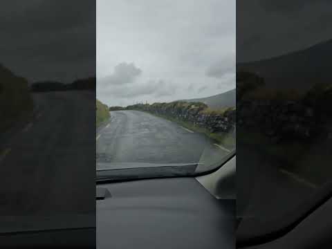
Hidden in the Mountains of Ireland 🇮🇪 | An Chonair
Cool vibes
Things to do near Conor Pass

More in County Kerry


More Viewpoint in Ireland
See all → Video
Torc Mountain

Slieve Coillte

Aghameelan Viewpoint
Found Conor Pass helpful for your Ireland trip?
Support Ireland Gems